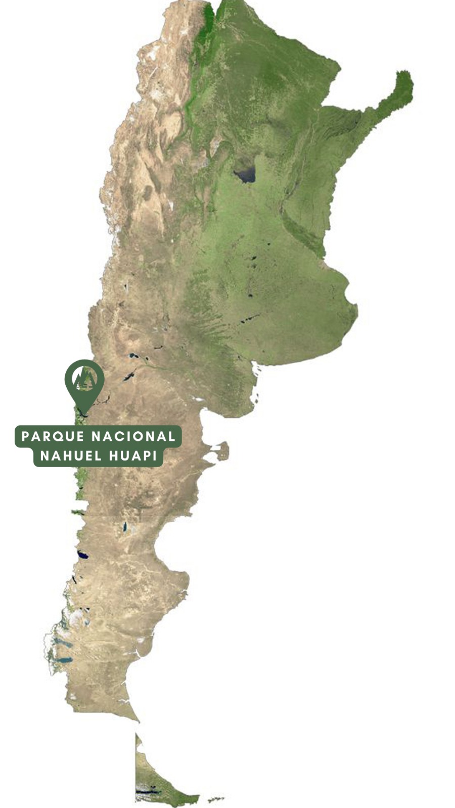
Parque Nacional Nahuel Huapi
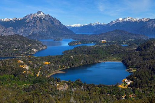
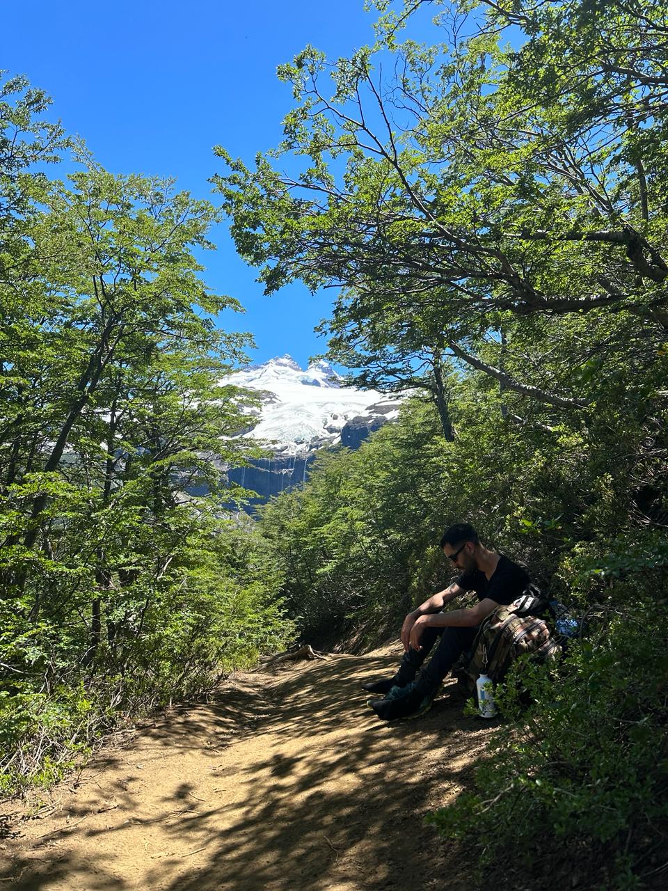
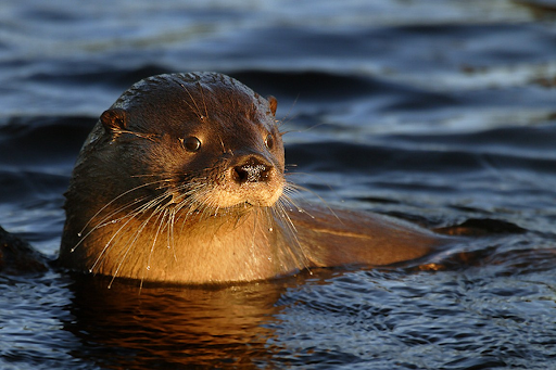
Located in Northern Patagonia, Nahuel Huapi spans parts of the provinces of Rio Negro and Neuquen. With an official surface of about 717,261 hectares, it includes Andean ranges, deep lakes and forests that gradually transition into Patagonian steppe. Around 60% of the park is covered by Andean Patagonian forests dominated by coihue, lenga and nire. Eastward the landscape opens into steppe with coiron grasses and hardy shrubs adapted to low rainfall and wind. At higher elevations, alpine vegetation becomes sparse and adapted to cold and exposure. Temperate-cold climate with marked seasonality. Winters are humid with frequent snowfall and average temperatures between 2 and 4 C. Summers are drier, with averages between 14 and 16 C. Rainfall decreases from about 4000 mm per year in the Andean sector to roughly 600 mm in the steppe. Forests include coihue, lenga and nire; in humid valleys you will also find maitenes, myrtles and ancient alerce stands. Fauna highlights include the endangered southern river otter (huillin), Andean condor, puma and huemul, as well as endemics like the Chalhuaco frog and colonial tuco-tuco. In 1903 Francisco P. Moreno donated lands that created the National Park of the South, the first in Latin America. In 1934 Nahuel Huapi National Park was formally established. It also hosted Argentina's first forest nursery, today an internationally recognized botanical garden. Times and access may vary with weather, snow and maintenance. Always check official updates before hiking.Nahuel Huapi National Park: complete guide to plan your visit
Environments and ecosystems
Climate and best time to visit
Flora and fauna
History in brief
![]()
Recommended trails and viewpoints
Frequently asked questions