
Tierra del Fuego National Park
Where is Tierra del Fuego National Park? A Protected Space Climate Flora Fauna History Family-Friendly Trails
Located in the province of Tierra del Fuego, it is Argentina's southernmost park. Known as the "National Park at the End of the World," it features unique landscapes where Patagonian forests meet the sea.
This park spans nearly 69,000 hectares, showcasing lakes, valleys, and coasts. Highlights include Lapataia Bay, Zaratiegui Cove, and peatlands, which are crucial for climate conservation.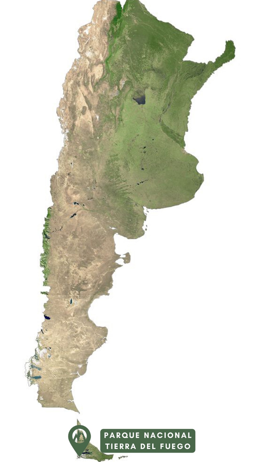
Cold and humid, with frequent snowfall between May and September. Average annual temperatures are 5.6°C, and precipitation is steady year-round. The best time to visit is from October to March.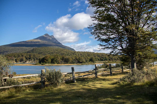
The park hosts forests dominated by lenga trees, which turn vibrant red in autumn. In wetter areas, guindos and canelos grow, while mossy sphagnum peatlands are surrounded by ñire trees.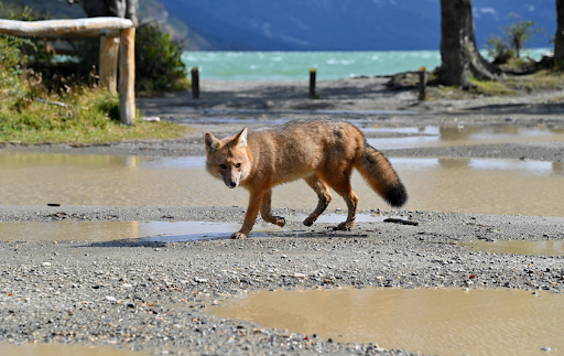
Mammals include guanacos, Fuegian red foxes, and huillines. Birdlife is diverse, featuring species like the kelp goose, black-browed albatross, Magellanic woodpecker, and Patagonian thrush.
Home to indigenous groups like the Selknams, Yamanas, and Kaweskars, Tierra del Fuego was first explored by Europeans in 1520 during Ferdinand Magellan's expedition. The park was officially established in 1960 to protect its unique biodiversity and landscapes.
Castorera: A 200-meter trail through the forest to an old beaver dam. Duration: 20 minutes.
La Baliza: A 1,200-meter trail along the coast and grasslands. Duration: 30 minutes.
Mirador Lapataia: This 980-meter trail offers panoramic views. Duration: 30 minutes.
Cascada Río Pipo: A 931-meter trail leading to a waterfall. Duration: 30 minutes.
Cruce Ruta 3 - Ensenada: A 1,300-meter trail through the forest. Duration: 40 minutes.
If you want to explore Tierra del Fuego, we recommend the Southern Patagonia Tour