
Los Cardones National Park
Where is Los Cardones National Park? A Protected Space Climate Flora Fauna History Trails in the Park
Located in northwestern Argentina, in the province of Salta, near the town of Payogasta.
Spanning over 64,000 hectares, this park preserves representative environments of the High Andes, Puna, Monte de Sierras and Bolsones, and a section of misty grasslands typical of the Yungas.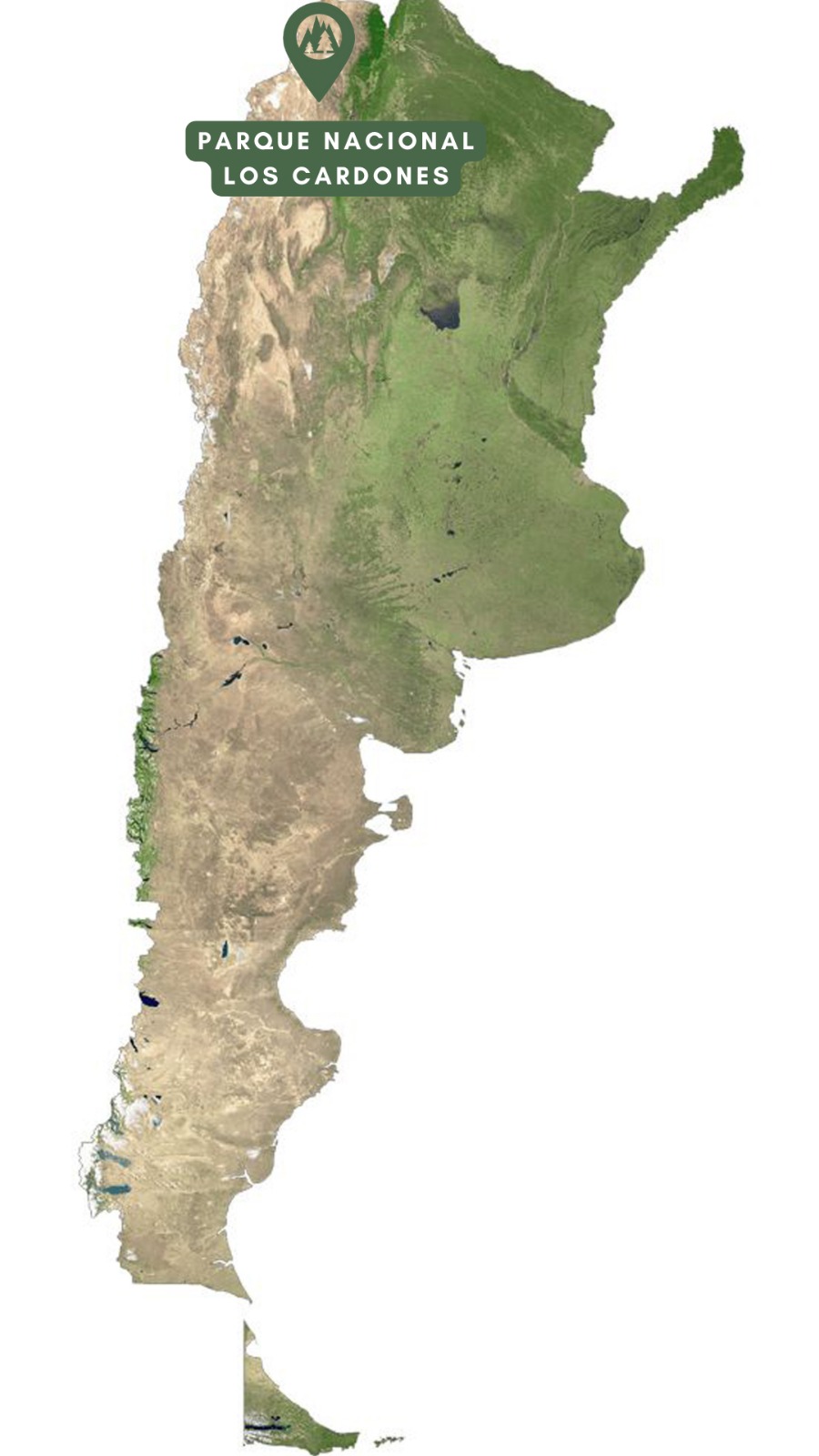
The climate is arid with significant temperature variations: cold winters with subzero temperatures and summers with highs of 30°C. Rainfall is concentrated between November and March. The best time to visit is from April to November.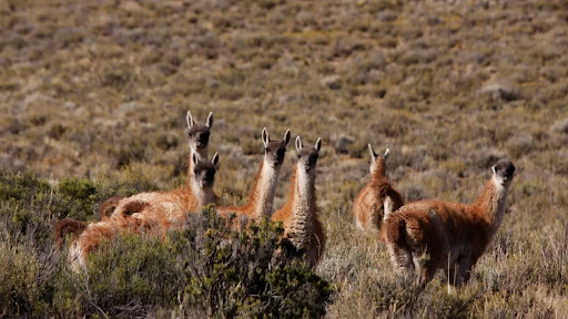
The Monte region hosts Argentina's highest diversity of cacti, including endemic species. Iconic cardones or pasacanas stand out, surrounded by churqui trees and high-altitude wetlands that serve as oases for wildlife.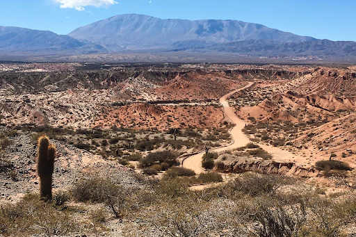
The park is home to threatened species like the pajonal cat and the monterita serrana, along with guanacos, gray foxes, condors, and chinchillas. Its biodiversity exemplifies the ecological balance of northwestern Argentina.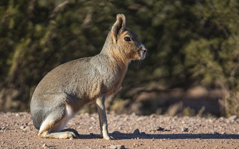
Created in 1996, this park protects representative biomes of northwestern Argentina, including sectors of the Monte, Prepuna, and Puna regions. Its conservation ensures the region's biodiversity and scenic beauty.
Valle Encantado: 4 km round trip in 2 hours. Vehicular access is temporarily restricted, but it can be explored on foot.
Ojo de Cóndor: An easy trail offering views of iconic cardones in a 20-30 minute walk.
Camino del Pasado: A simple 20-minute trail. Visitors are advised to bring water, a hat, and sunscreen.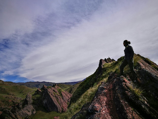
If you want to explore Los Cardones, we recommend the Northwest Argentina National Parks Tour