
Lanin National Park
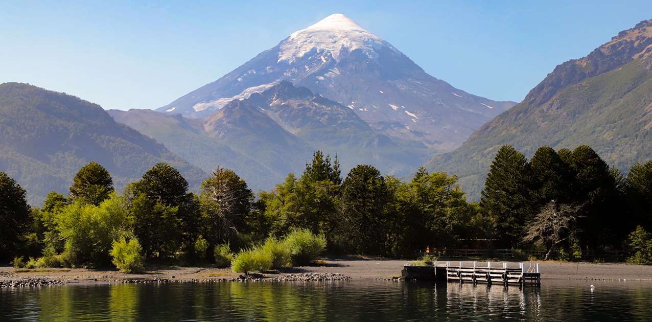
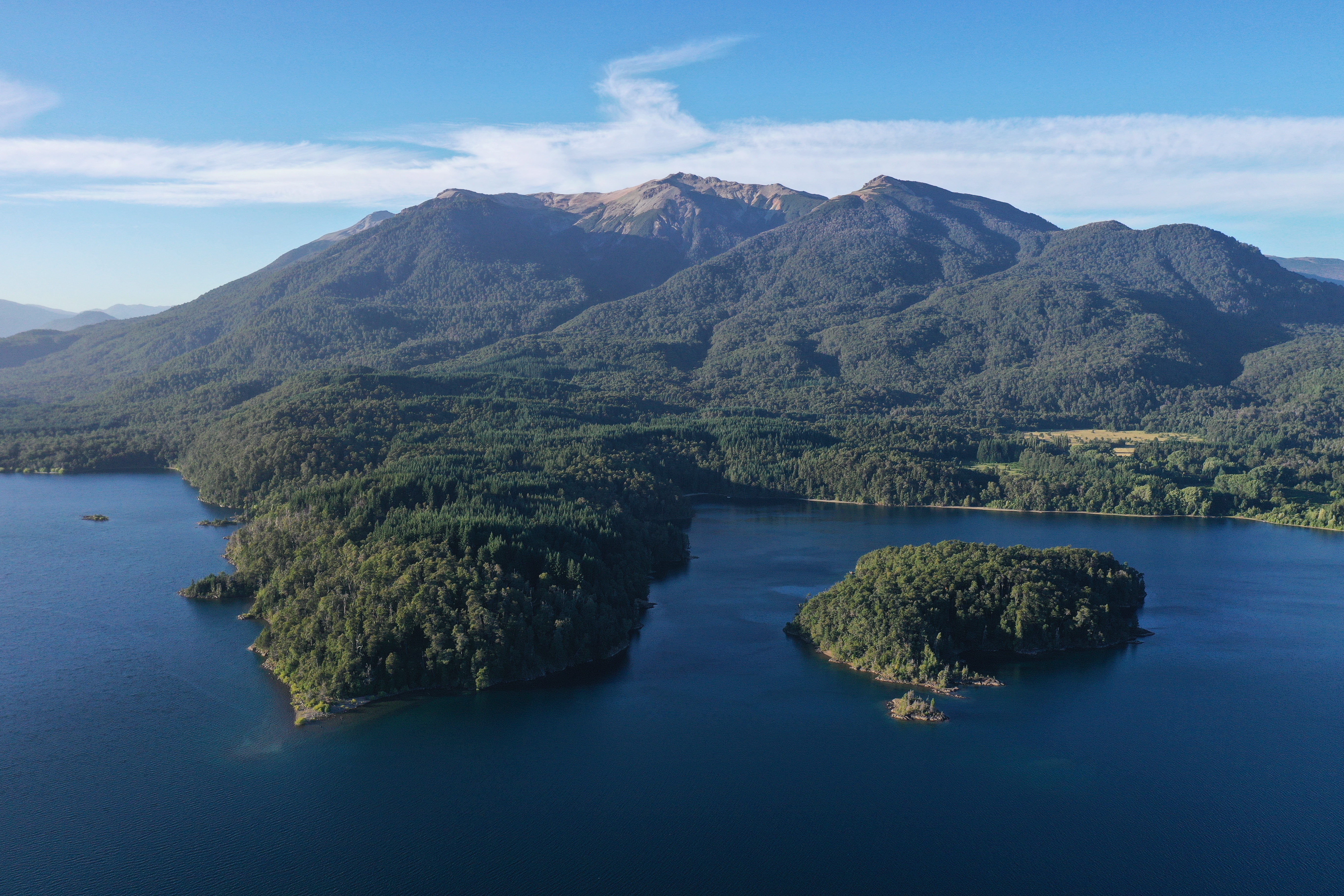
Location Size The park’s landscape is dominated by the iconic Lanin Volcano (3,776 m / 12,388 ft), whose snow-covered peak rises above glacial lakes, rivers, and waterfalls like Chachín. This mosaic includes pristine forests, high mountain terrain, and steppe. Temperate and humid climate, with snow prevailing in high-Andean areas. Average temperatures range from 4°C in winter to 20°C in summer. Rainfall varies between 1,800 mm and over 4,000 mm in the mountains. Best season: Spring and summer (October to March) are ideal for hiking, trekking, and kayaking. Late summer and early autumn often provide the most stable conditions for high mountain ascents. The park preserves forests of pehuén (monkey puzzle tree), roble pellín, and raulí, essential for regional water regulation. High-altitude slopes are dominated by Nothofagus species, while the Hua Hum area hosts lush Valdivian rainforest. More than 200 species of vertebrates have been recorded. Mammals include pumas, foxes, and the monito del monte. Birdlife features the Andean condor, red-tailed hawk, and large churrín. Amphibians and native reptiles add to its biodiversity. Declared a national reserve in 1937 and National Park in 1945. It is ancestral Mapuche territory, where today communities work jointly with the park to protect both natural and cultural heritage. Bandurrias Lookout (San Martin de los Andes): classic short hike with views of Lake Lácar and the town. Easy. If you enjoy trekking in Patagonia,Lanin National Park: complete trekking guide in Northern Patagonia
Lanin National Park is located in Northern Patagonia, in the province of Neuquén (Argentina). It borders the Andes mountains and Chile to the west, and Nahuel Huapi National Park to the north.
The park covers 412,000 hectares, protecting Patagonian Andean forests, High Andes ecosystems, and Patagonian steppe landscapes.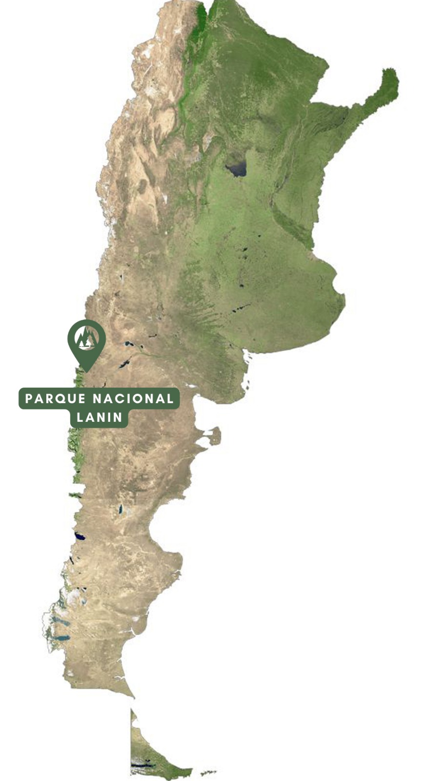
Landscape and Lanin Volcano
Climate and best time to visit
Flora

Fauna

History and communities
Trekking and Lanin Volcano ascent (3,776 m)
Recommended trails
Cerro Colorado: moderate ascent with panoramic views of surrounding volcanoes and peaks.
Cerro Curruhinca: circular route through Patagonian forest with excellent vistas of Lake Lácar.
Laguna Rosales: tranquil walk near San Martin de los Andes, surrounded by forest and lake shores.
discover our exclusive expedition to Perito Moreno National ParkFrequently Asked Questions